Plateau Maps
Click images to enlarge
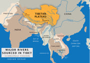
Major rivers sourced in Tibet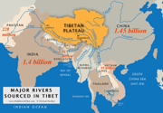
2025 population figures for nations downstream from Tibet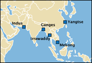
Mighty Deltas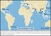
Top Ten Rivers at Risk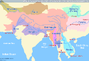
Major River Basins in Southern and Southeastern Asia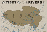
Tibetan River Names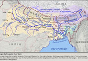
Ganges-Brahmaputra River Basin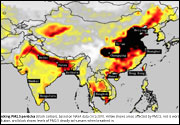
Tracking PM2.5 particles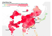
A Bad Winter Day
Himalayan Climate & Water Atlas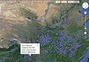
State of the World's Rivers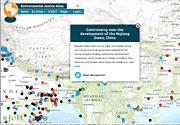
Environmental Justice Atlas
https://ejatlas.org/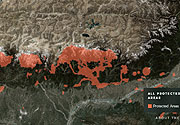
Half-Earth Project Map
https://www.half-earthproject.org/explore-maps/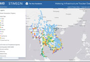
Mekong Infrastructure Tracker
https://www.stimson.org/project/mekong-infrastructure/
Sacred Landscapes, Key Pilgrimage Sites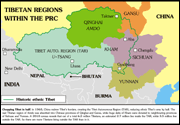
Tibetan Regions within the PRC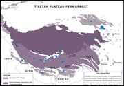
Tibetan Plateau Permafrost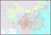
HydroChina Map:
future dam projects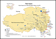
Tibetan Plateau Hydro Projects 2015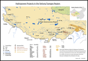
Hydropower Projects in the Yarlung Tsangpo Region 2013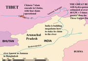
The Great Bend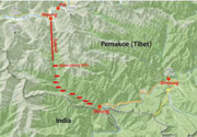
Great Bend Dam Plans. Credit: Claude Arpi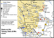
Yalong, Dadu and Min 2013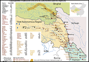
Damming the Drichu (Yangtse), Zachu (Mekong) & Gyalmo Ngulchu (Salween) rivers 2013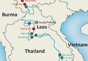
Mekong Mainstream Dams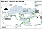
Bhutan is the only nation to set aside over 50 percent of land area for parks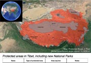
So-called 'Protected Areas' of Tibet. Source: ATC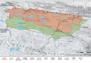
Hoh Xil WH Site, Qinghai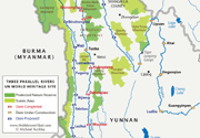
Three Parallel Rivers,
Kham, Yunnan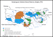
Three Headwaters Nature Reserve (doubled in size in 2013)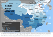
China's water reserves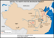
S-N Water Diversion Sketch-Map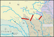
Tibet Water Diversion Sketch-Map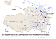
Proposed Diversion for Yellow River Corridor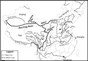
Red Flag River Diversion Plan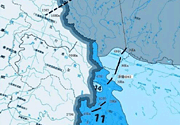
Proposed Indus/Sutlej Water Diversion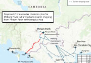
Funan Techo Canal — map courtesy of Stimson Center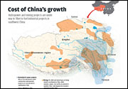
Cost of China's Growth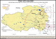
Tibet UHV lines 2020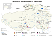
Exploiting Tibet's Resources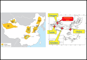
Shale-gas & oil-sands deposits in China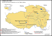
Canadian Joint-Venture Operations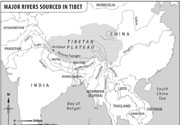
*B/W: Major Rivers Sourced in Tibet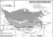
*B/W: Tibetan Plateau Permafrost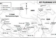
*B/W: Key Pilgrimage Sites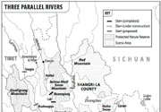
*B/W: Three Parallel Rivers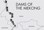
*B/W: Dams of the Mekong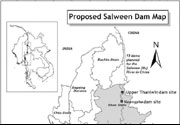
*B/W: Proposed Salween Dams in Burma